06/06/30 Day 21 Colorado Salida, Poncha Springs, Sargents, Doyleville,
Luder Creek Campground (92 miles)
We have
been riding for 3 weeks.
It was a
clear morning leaving Salida. Del Norte
was the next “major” services spot but we felt it was too far given the
elevation between to make in one push so we knew we’d be camping
somewhere.
Heading out
paved Hwy 120, about 6 miles from Salida, my 2 cups of coffee needed an exit
strategy. Pee stops on the side of the
road are just what we do but this was a pretty trafficked area - we had to find
a real place to stop. We could see the
sign of a gas station on the edge of Poncha Springs. As we topped the hill and the station came
into full view, I said to STB “See that truck and Airstream down there? You will never guess who that is?” All she said was “No shit?” My ex-husband. The randomness of the universe knows no
bounds. Letting go…metaphors….
After
Poncha Springs, we climbed the next 10 miles going up and over Marshall Pass
 |
| Canoe in a dead windmill. It spoke to me. |
 |
| Hazy view |
 |
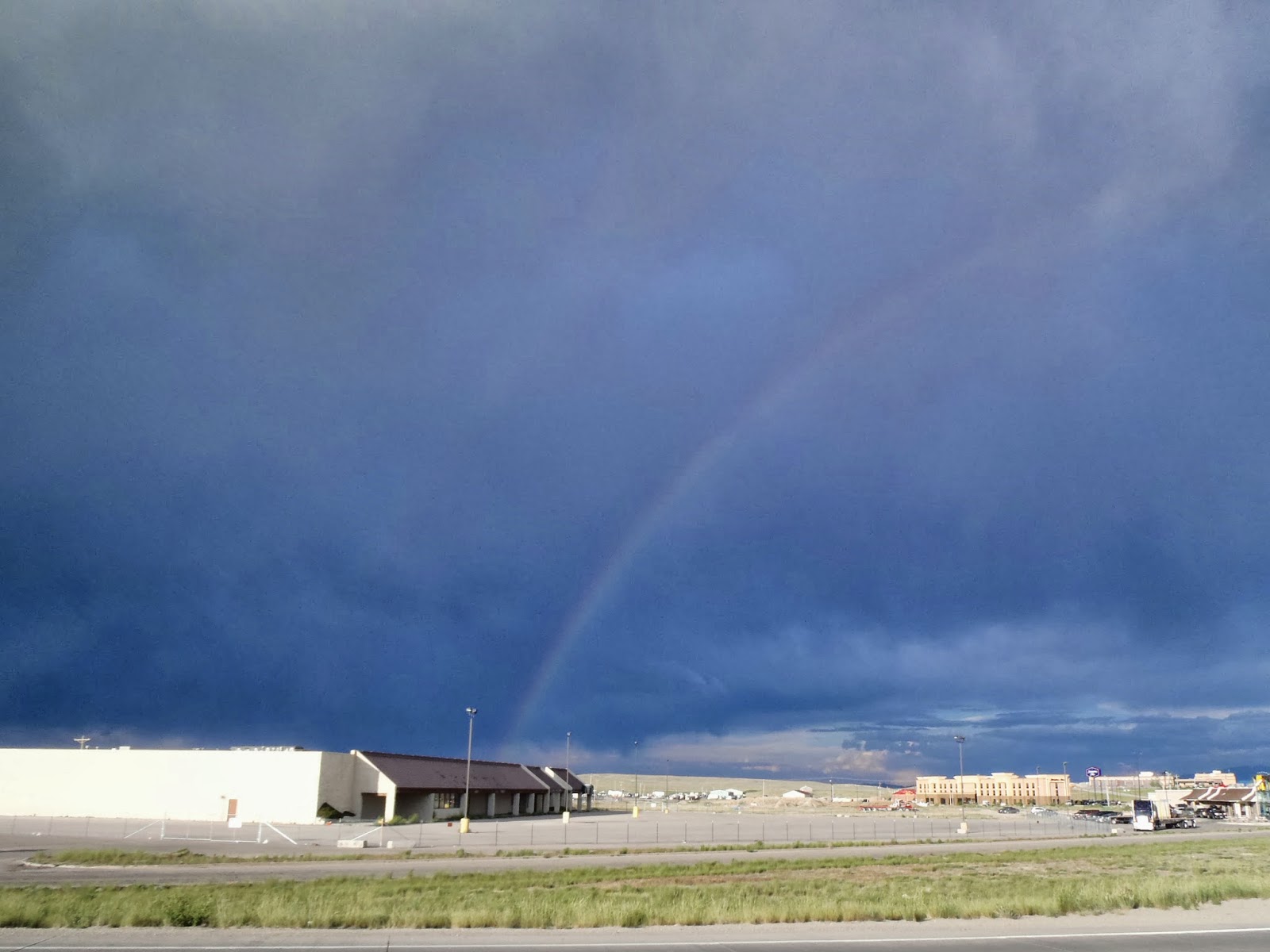
| Storms rolling in |

There was
paved road to Doyleville then dirt on wide exposed rolling hills. Again with the micro burst dust storms and
more ditch diving.
I got my
first (and only) flat today. The sealant
did its job but not until after some nerve racking time. I am un-used to tubeless setups and regret
not spending more time learning bike mechanics.
We had
several “small” climbs that sure felt like passes. The daylight was fading (into a beautiful
sunset I might add) as we crossed the CD again at Cochetopa Pass
 |
| Tried to capture a lovely sunset |

 |
| Marker at |